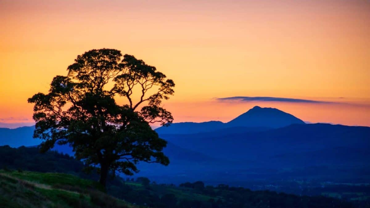
You don’t have to go all the way to Fort William to enjoy the great outdoors. Despite the fact that Glasgow is the largest and most densely populated city in Scotland, it is still very easy and fairly quick to find day walks near Glasgow and get into the countryside. Ranging from flat and easy paths to steep and challenging walks, there is no shortage of beautiful trails near Glasgow.
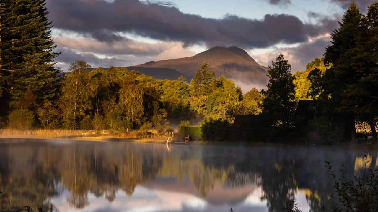
Greenock Cut, Inverclyde
The Greenock Cut Walk is a 6.5-mile circular day walk that travels high above the river Clyde and the eponymous 19th-century aqueduct and then over the wild moorland. The walk begins and ends at the Greenock Cut visitor centre. Alternatively, you can start your walk at Overton or the Drumfrochar station.
There are 23 gorgeous stone bridges along the Greenock Cut. The aqueduct was used until 1971. Today, it is a Scheduled Ancient Monument. Although the walk revolves around the unique aqueduct, there’s more to it than exploring Scottish industrial history.
The Greenock Cut trail offers some of the best views in southern Scotland. You will see the delightful Greenock town layout before you at the top of the pass.
The trail will also take you along the lovely Loch Thom. Since 1827, Loch Lomond and the nearby Compensation reservoir have provided a water supply to the town of Greenock. Both reservoirs, as well as the aqueduct, are a part of the Clyde Muirshiel Regional Park.
The trail is well-defined for the most part and relatively easy to complete. Instead of sharp Munros, this trail will take you along gently rolling hills. It takes around 3 hours to complete the entire walk.
If you don’t have a lot of time on your hands, you can walk the 1.5-mile Shielhill Glen Nature Trail. It runs along the Kelly Cut as well as the Greenock Cut. Alternatively, you can hike up Dunrod Hill.
Cattle and sheep are often seen in the fields along the trail. If you want to take your dog with you, make sure to check out the Outdoor Access Code for dog owners.
While you are in the area, consider paying a visit to the Weaver’s Cottage in Kilbarchan. This atmospheric cottage and hands-on museum is just 13 miles from Greenock.
It takes about half an hour to get to Greenock. There’s a direct train from Glasgow Central that runs every hour.
Conic Hill, Balmaha
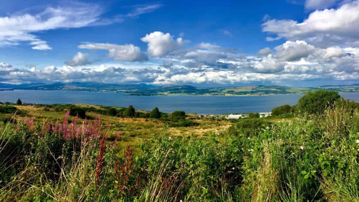
The fantastic Loch Lomond and the Trossachs National Park offer a variety of day hikes, and it is just an hour’s drive from Glasgow. Loch Lomond has everything from endless hills and wild landscapes to picturesque villages and quaint pubs.
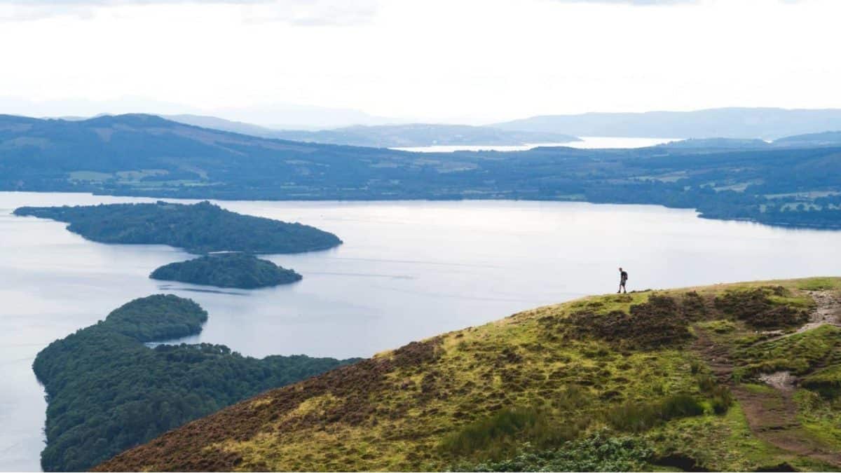
Conic Hill is one of the most popular walks in the area. This sharp little summit offers extraordinary views over the loch and the surrounding woodland and farmland. It’s even possible to see Goat Fell on Arran on a clear day. Keep an eye out for ospreys, common buzzards, and hen harriers as well.
Conic Hill is part of the Highland Boundary Fault, which separates the Highlands to the north from the lowlands to the south. This walk is also part of the famous West Highland Way, one of the most popular long-distance walks in Scotland.
The hike to the summit is short but steep. The height gain is about 1180 feet. Rest assured that it’s well worth it. The more you climb, the better it gets.
You can choose to walk the linear route or the circular route. Both routes start at the Balmaha visitor centre car park. On your way to the summit, you will pass through gorgeous woodland—a mix of oak, conifer, broadleaf, and beech trees.
The linear route, also called the “up & down route,” is 3 miles long and takes about 2.5 hours to complete. The circular route is 6.5 miles.
The terrain can be muddy underfoot any time of the year, so it’s essential to wear suitable clothing and hiking boots, and given that it is Scotland mind take a light rain jacket no matter what time of the year you walk.
Conic Hill is a year-round hike. However, if you plan on walking the circular route with your dog, do know that dogs are not allowed in the two enclosed fields on the east side of the hill during the lambing season. Generally, the lambing season lasts from April to May.
Conic Hill is easy to reach by public transport. You can catch the train from Glasgow to Balloch. When you get to Balloch, hop onto the 309 bus to Balmaha.
Beinn Dubh to Glen Striddle Horseshoe, Luss
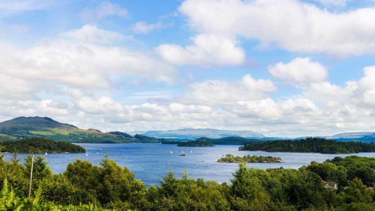
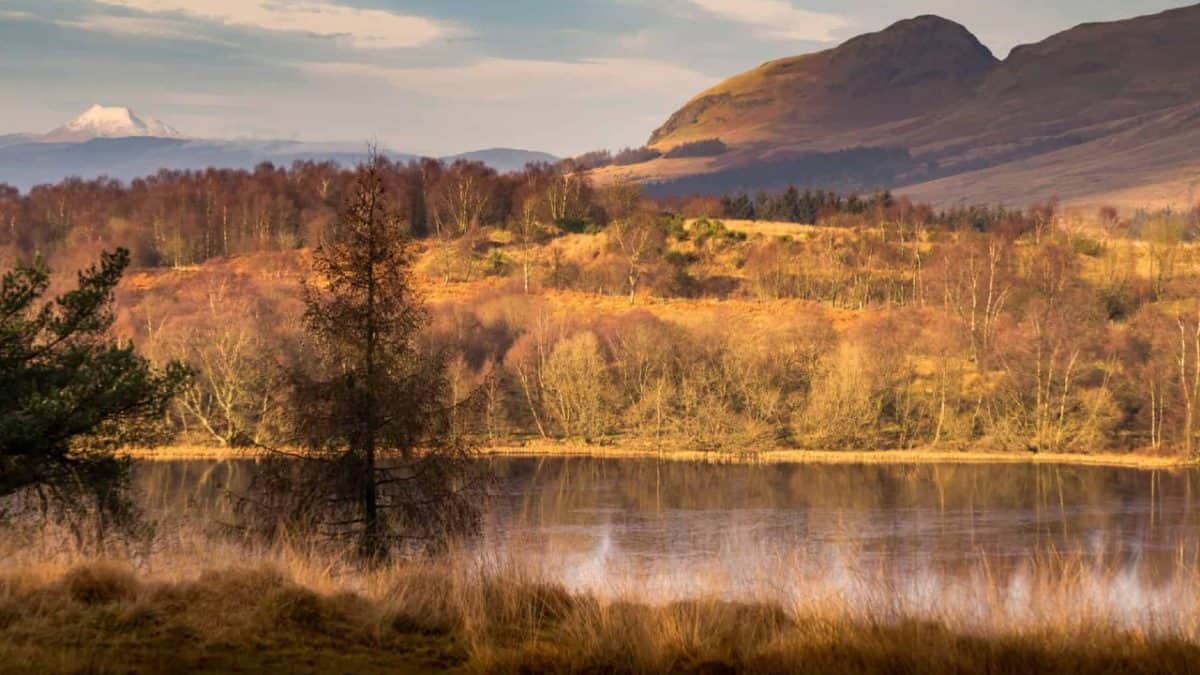
The Glen Striddle Horseshoe is another scenic trail located within Loch Lomond and the Trossachs National Park. This 7-mile circular walk begins and ends at the Luss car park. It will take you up a grassy ridge that connects the lovely hills above Glen Striddle.
Despite the trail’s proximity to popular Loch Lomond destinations, the glens around it have a sense of remoteness.
You will be rewarded with spectacular views of the Arrochar Alps and Loch Lomond when you reach the top of Beinn Dubh. Even though the trail features a steady climb, the long, broad ridge and the grassy terrain make it a relatively easy hill walk. But, there are a few boggy areas along the trail, so be prepared to get a little muddy. Gaiters are recommended.
The area is home to diverse wildlife. Keep an eye out for mammals such as water vole, mountain hare, and red deer, and birds such as buzzards, breeding waders, red grouse, and skylarks.
The village of Luss, located on the west bank of Loch Lomond, is pretty enough to deserve its own trip, in fact, it is the top place on my list of top 15 day trips from Glasgow. Its lovely pier, picturesque parish church, and neat rows of stone cottages make it a great place to relax and eat in after your walk.
If you don’t have the time to complete the circular trail, consider walking the Luss Heritage Trail. The trail runs along the riverside and the ancient woodland as well as the stone cottages in the conservation area.
Citylink buses between Glasgow and Luss run frequently. It usually takes about an hour to get to the village.
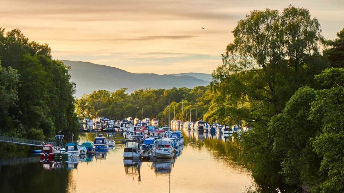
Helensburgh to Balloch (John Muir Way)
This easy 9-mile walk covers the first stage of the John Muir Way, a relatively new long-distance trail in Scotland. It takes between 4 and 4.5 hours to complete the walk.
The route starts in the seaside holiday town of Helensburgh and uses pavements, quiet roads, and gravel and grassy paths. It is perfect for newbie walkers.
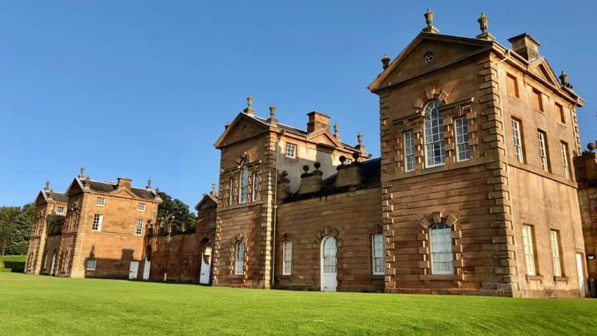
The first section of the route heads through the town. If you have time, consider visiting the National Trust for Scotland’s Hill House that lies along the trail. Built in 1904, the building is a prominent example of the British Art Nouveau style. There’s a cafe on site where you can enjoy a delicious hot drink before you continue your walk.
The next section of the walk will lead you through the woods out onto the busy A818. Once up onto the hill, the trail really gets interesting. As you follow the gently climbing track, you will get to immerse yourself in the stunning beauty of the Trossachs.
The rest of the trail offers great views of the surrounding moorland and the beautiful Loch Lomond. Then, the route winds its way to the enchanting village of Balloch, where the scenery is equally rewarding.
The trail ends at Balloch railway station. But be sure to visit the Balloch Pier before you hop on the train. There, you’ll get to enjoy more beautiful views of the lake and the Balloch Castle.
You will also get to see the Maid of the Loch – the last paddle steamer built in Britain. The Maid has a tea room where you can treat yourself to some delicious home baking, snacks, tea, or coffee.
There are regular trains from Glasgow Queen Street to Helensburgh Upper and to Helensburgh Central. Alternatively, you can take the 1B bus. It takes about an hour to get to Helensburgh. Balloch also has great road and rail links to Glasgow.
Dumgoyne and Earl’s Seat, near Killearn
With a summit height of about 1890 feet, Earl’s Seat is the most prominent hill of the Campsite Fells. Dumgoyne Hill, its impressive neighbour, is a well-known volcanic plug visible from Glasgow.
This trail is just a 20-minute ride north of Glasgow. It offers fabulous panoramic views across the City of Glasgow on one side, and Loch Lomond and the Scottish Highlands on the other.
You can start your walk at Glengoyne Distillery, located at the foot of Dumgoyne, or from Blanefield. The walk is about 6.75 miles long. It is very steep in the beginning, so it requires a reasonable level of fitness. Moreover, the area is exposed, and there is no shelter, so make sure to bring the proper gear and layers. In summer conditions, it takes between 3 and 4 hours to complete the trail.
The track is visible all the way. From Earl’s Seat, you can either take a direct line back towards the shoulder between Clachertyfarlie Knowes and Galoch Hill or you can retrace the outward trail along the edge of the escarpment.
To reach the trail, you can take the no. 10 bus from Buchanan bus station and get off at the distillery.
If you prefer shorter day walks, the Dumgoyne Circular may be a better option for you. This trail extends for a little over 3 miles. The Spittal of Ballewan, the former site of a Knights Templar hospital, is just a stone’s throw away from the route.
Visiting the Glengoyne distillery is also highly recommended. Many consider it to be the most beautiful whiskey distillery in the country. It is open 7 days a week, but you need to book your visit in advance.
Ptarmigan Circular Route, Ben Lomond
Ben Lomond is Scotland’s southernmost Munro. With over 30,000 people reaching the summit each year, it’s also among the most popular.
Hiking the circular route over Ptarmigan is a great way to tackle Ben Lomond. The trail is about 7.5 miles long and takes at least 5 hours to complete.
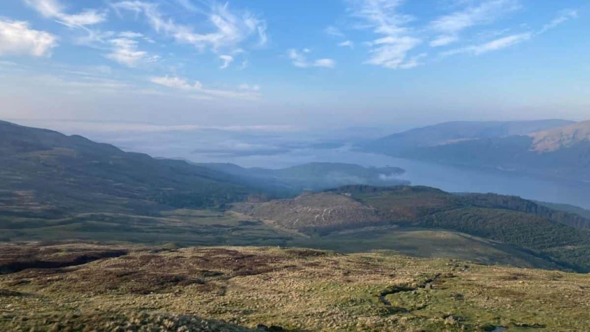
The Ptarmigan Circular Route offers spectacular full-circle views of the loch and all of its islands. There are other routes that go up Ben Lomond, but they can get quite busy during the hiking season.
The Ptarmigan Ridge route is longer than the main Ben Lomond trail. But, since it’s a loop, you won’t backtrack on yourself after you reach the summit.
Ben Lomond car park is a two-hour drive from the city. If you decide to go by car, try to get there as early as possible. The car park can fill up quickly. You can reach it by public transport, but it’s a bit tricky. You can take a train or bus from Glasgow to Tarbet.
There’s a summer ferry from Tarbert to Rowardennan that will take you right next to the car park. If you plan to take the train and the ferry, you must be aware of your timetable.
On your way to Ptarmigan, you will pass a lovely waterfall and climb through deciduous woodland. When you reach the open hillside, the view will get pretty stunning.
After a bit of simple scrambling and a few false summits, you’ll come out at the top of Ben Lomond. The descent should be a very pleasant stroll. The wind can be relentless along some sections of the trail, so make sure to layer up properly.
With a total ascent of 3000 feet, Ben Lomond is a challenging climb. Unless you are a specialist climber, don’t attempt to climb Ben Lomond in winter.
The Falls of Clyde, New Lanark
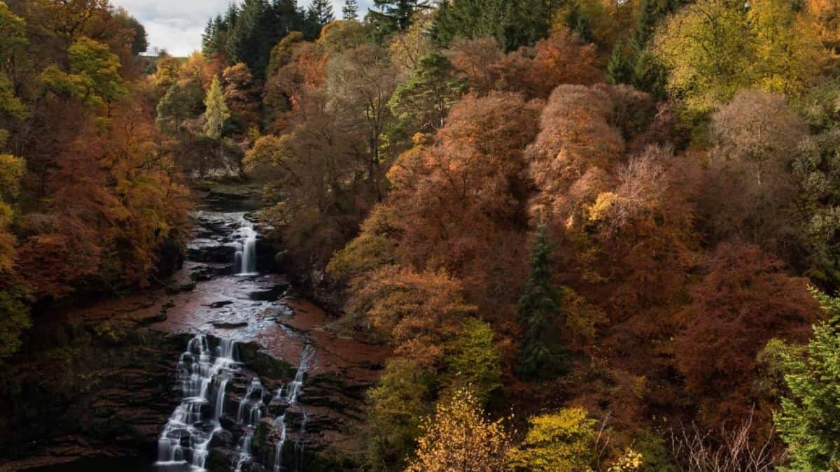
The Falls of Clyde is a series of four beautiful waterfalls on the River Clyde. It is just 26 miles south of Glasgow.
The Falls of Clyde Classic is a circular woodland trail that begins at the World Heritage Site of New Lanark. New Lanark is a picturesque 18th-century mill village set in a sublime Scottish landscape.
The classic circular route sticks to the eastern banks of the river, passing several viewpoints from where you can see the alluring waterfalls. It’s best to walk the trail after a period of sustained rainfall when the Falls of Clyde is swollen and fast flowing.
Over 100 bird species live in the surrounding area, including kingfisher, raven, and dipper. In the evening, bats can be spotted feeding over the river. It’s also possible to see otters along the riverbanks and badgers in the undergrowth.
The Falls of Clyde loop is 3.7 miles long and takes about 2 hours to complete. Even though there are lots of short up and down sections, the path is clear and well-waymarked.
If you are up for a bigger challenge, there’s a longer 6-mile circuit trail that also starts near New Lanark. Combining two shorter walks to make a full loop, this route takes on both sides of the river.
To get to the Falls of Clyde, you can take a train from Glasgow Central to Lanark. It runs every half an hour. When you get to Lanark, you can either walk 1.5 miles to New Lanark or take the number 135 bus.
Burncrooks Reservoir Circuit, Carbeth
Burncrooks Reservoir is a man-made body of water that is located 13 miles north of Glasgow. The Burncrooks reservoir circuit is a 6-mile walk that starts at Edenmill Farm Shop near Carbeth.
The simplest way to get to Edenmill Farm is by car. There is a large car park that serves the trail, so parking shouldn’t be a problem. You can also reach the start point by walking or cycling from Mugdok or Milngavie.
The circuit is a newer extension of the John Muir Way. Compared to the rest of the John Muir Way, it offers a more wilderness experience.
The route winds gently uphill before grading into the open countryside. Then, it joins the newly laid path that loops the Burncrooks Reservoir, undulating along the shoreline. It offers great views of the Arrorarch Alps.
The walk around the reservoir is surprisingly hilly but definitely doable. You can walk it in either direction.
Apart from the section that runs along the John Muir Way, the route isn’t well-signposted, so it may be a good idea to download an offline map of the area.
You won’t get lost if you don’t have one, but there are a few interesting detours you may want to take. If you have more time on your hands, you can easily extend the walk to Kilmannan Reservoir.
Chatelherault Country Park
With more than 10 miles of trails and 500 acres of countryside, this splendid park in South Lanarkshire has something for everyone. Most of the paths within the park are well maintained and rated as easy.
The Green Bridge Trail is the most popular trail in the park. It is located within the Woodlands National Nature Reserve.
The walk is 5 miles long and takes between 2 and 3 hours to complete. It features a steep descent, a gradual ascend, and several flights of steps. The trail is almost entirely woodland. With thousands of trees but no sheep, it is ideal for dog walkers. The path follows the picturesque Avon Gorge to the bridge and then winds around the remains of Cadzow Castle. The Green Bridge Trail also runs along Iron Age earthworks and meanders through ancient oak woodland.
If you walk the Deer Park Trail, you may come across a rare breed of cattle known as the White Park. They are believed to be some of the few remaining survivors of the wild cattle indigenous to the British Isles. This walk is about 1.5 miles long and takes about 45 minutes to complete.
The Hoolet Row Trail runs along the east bank of the river. It is about 2 miles long. It will take you to the riverside beaches, where you will get a chance to explore the remnants of what were once miners’ cottages. This short but scenic trail also features a steep climb to the top of the gorge.
There’s also the 1.3-mile Monument Trail that heads down and over the Duke’s Bridge. If you are particularly interested in the history of the area, the park offers a range of guided heritage and historical tours.
The park is just 15 miles from downtown Glasgow. The cheapest way to get to the park is by train. The ride from Glasgow Central to Chatelherault railway station takes about 40 minutes, and the rail station is located right across the park.
Dollar Glen
Dollar Glen is the perfect place for a day walk, thanks to its rushing burns, deep gorges, and lushing woodland. The glen is positioned in the shadow of the Ochil Hills, east of Stirling. It is an hour’s drive from Glasgow.
There is a well-established network of paths around Dollar Glen. Since the 1800s, walking around the gorges has been a popular activity. The Dollar Glen circular trail is the most popular walk in the area. It can be easily accessed from the Quarry car park and the Mill Green as well as from Dollar.
The route is only 1.2 miles long, but it is rated as moderate. Most of the trail is uneven. It also features steep cliff drops and slippery sections. It is important to exercise care along the route. If visiting the Castle, it takes about two and a half hours to complete the trail.
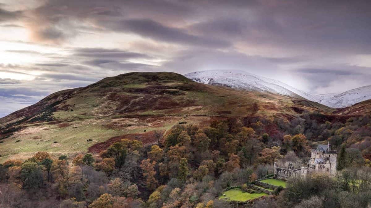
Castle Campbell is a medieval fortress that is dramatically situated above the town. Set high among the rich woodland, it has all the look of a fairytale castle. The castle parapets offer fantastic views over the Pentland Hills and the Forth Valley.
The route descends down to the very bottom of the gorge, giving you an opportunity to walk along the burns. As you watch the Burn of Sorrow and Burn of Care plunge down tumbling waterfalls, keep an eye out for green and great spotted woodpeckers, pied flycatchers, and brown long-eared bats.
Dollar Glen is also home to over 190 species of lichen and 100 different types of moss. Because of its unique wildlife and plants, the glen is a designated Site of Special Scientific Interest.
This is my list of the best walks near Glasgow. If you have any to share, leave the details in the comments below.
I love hiking, backpacking, and camping. From the Camino de Santiago to the West Highland Way in Scotland or simply a great day hike on the weekend. Hiking refreshes me, my mind, and keeps my body reasonably fit. So far I have walked three Camino routes and many other long distance hikes in the UK, Canada, and around the rest of Europe. One of the best was my hike up Ben Nevis.