Portomarin developed along both sides of the River Mino, the town was of strategic importance and always garrisoned first by the Order of Santiago, then in 1188 Alfonso IX transferred ownership to the Order of San Juan de Jerusalem who maintained a pilgrim’s hospice for centuries thereafter.
Totday, Portomarin has a population of 1,400. There are ten pilgrim hostels with more than 200 beds, and even sometimes during July and August it can be difficult to find a place for the night.
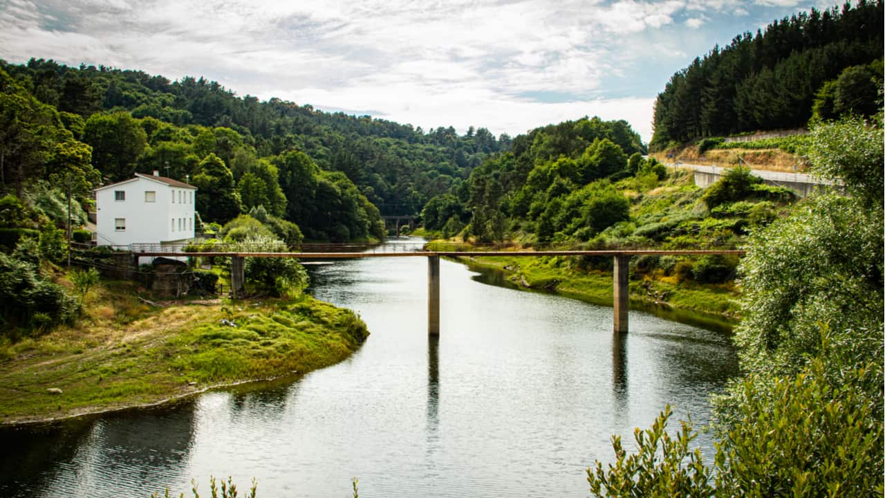
In 1956 construction of the Embalse de Belesar Dam was started and completed in 1962 when the valley was flooded. During the construction period, major monuments were moved block by numbered block to the new town of Portomarin.
The old village is now underwater and some of the buildings can be seen as you cross the new bridge into the town.
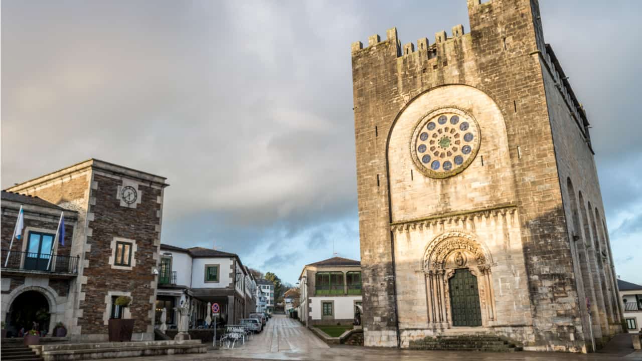
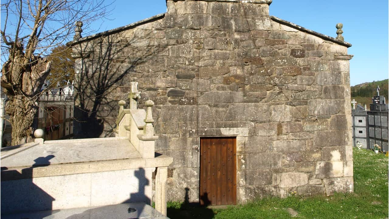
The Church of San Juan, (also referred to as Church of San Nicolas), is the largest single-nave Romanesque church in Galicia. It was built during the late 12th and early 13th centuries and is also a fortress church.
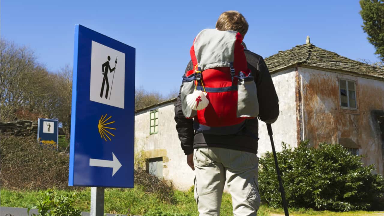
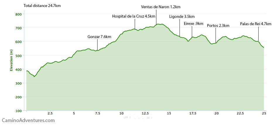
Today’s Walk: 24.7 km (15.3 miles), 6 hours
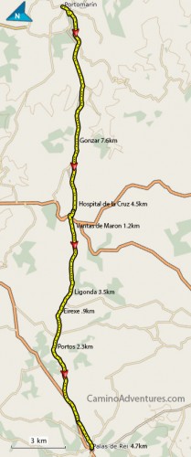
Today’s target is Palas de Rei by the end of the day. After the steep downhill along Portomarin main street and then a gentle uphill around Monte San Antonio the rest of the day is easy going through the rolling countryside. From Portomarin to Hospital de la Cruz the Camino follows the main road on a dirt track nearby.
After Hospital de la Cruz you cross the N-540 and the path is asphalted for the next 10km and very easy going.
For the last 3 km (1.8 km) leading into Palas de Rei once again you are on a dirt track alongside the main road.
Again today you are no more than a few kilometers between any town or village, therefore there are many places for buying food and filling up with water.
This day reminds me of walking in rural Ireland. It is very similar, both are very green farming communities.
Gonzar
7.6 km (4.7 mi), water, bar, cafe
The parish church is dedicated to St Mary.
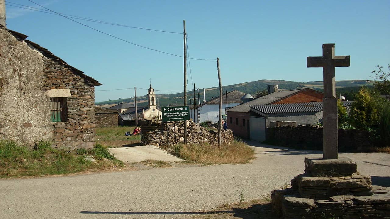
Shortly after Gonzar, you enter Castromaior. As well as the small Romanesque Church of Santa Marie there are the ruins of “castro”, in English hill fort. This gives the name to several small villages along the way Castro Lardeiros, Castro Simone, Castro de Valos, and Castro Marza.
Hospital de la Cruz
4.5 km (2.8 mi), cafe, restaurant, food shop, water
At one time there was a pilgrim’s hospital here, it existed until the 18th century however no evidence of it remains.
Vantas de Naron
1.2 km (0.75 mi) cafe, water
Ligonde
3.5 km (2.1 mi) cafe, water
Ligonda is a shadow of its former self, at one point this was an important stop along the route to Santiago. The Church of Santiago still has its Romanesque portal though the rest of the church is mostly now neo-classical.
The church and hospital here belonged to the Order of St James and even now you can still see the small pilgrims’ cemetery.
Eirexe
0.9 km (0.55 mi) cafe and two albergues
Portos
2.3 km (1.4 mi), bar/cafe and two albergues
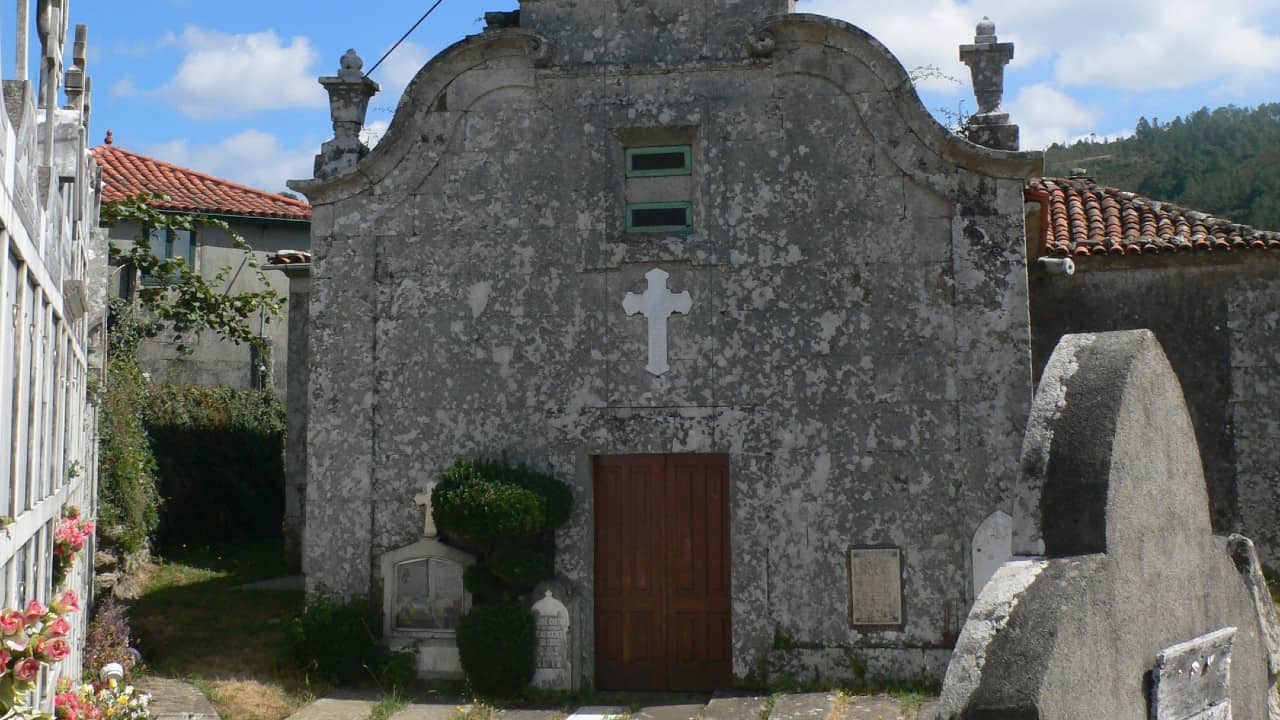
After Portos you can take a detour to the Romanesque Church of El Salvador which dates from at least 1184 when it was taken over by the Knights of the Order of St James, (takes about 45 minutes).
From then it became the official burial place for the order in Galicia. The church is classified as a Spanish national monument due to the important artistic treasures contained within the church.
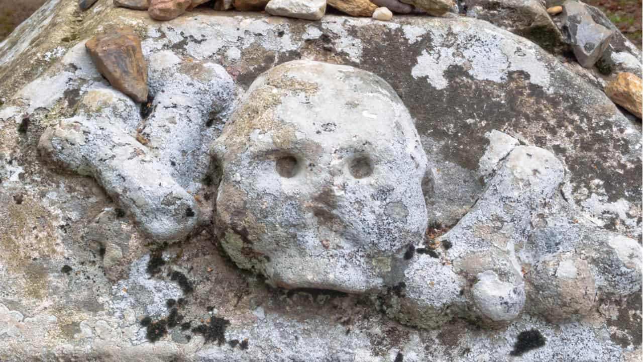
There are tombs of knights of the Order of St James, a stone retable that portrays scenes of the Miracle of the Eucharist and the Descent from the Cross.
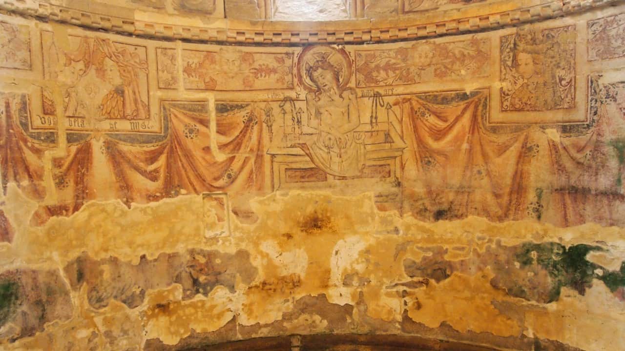
However, the most spectacular is the 15th-century Gothic frescos which are rare in Spain. They portray the Annunciation and include two figures that are thought to be King Juan II and Queen Maria of Aragon.
Os Chacotes
It’s a 4.7-km (2.8 mi) walk from Os Chacotes to Palas de Rei. There, you’ll find 5 albergues and all facilities except for a post office.
I love hiking, backpacking, and camping. From the Camino de Santiago to the West Highland Way in Scotland or simply a great day hike on the weekend. Hiking refreshes me, my mind, and keeps my body reasonably fit. So far I have walked three Camino routes and many other long distance hikes in the UK, Canada, and around the rest of Europe. One of the best was my hike up Ben Nevis.
Great route and descriptions along the way. I enjoyed the hike to Portomarin and the town.
Jim
Just a note for the end of the article- got a little confused because you put Os Chacotes as a place but don’t say how many km it is from Portos (the last mentioned location)- I had to look it up and find that it is an albergue approximately 5km from Portos.
Other than that these posts are amazing and extremely helpful- planning my first Camino and I start the end of May! Very excited! Buen Camino! Ultreia et Suseia!