With a population of just over 13,000, Sarria can feel very busy and noisy after the last few days in the remote countryside, though minor compared to arriving in Santiago de Compostela.
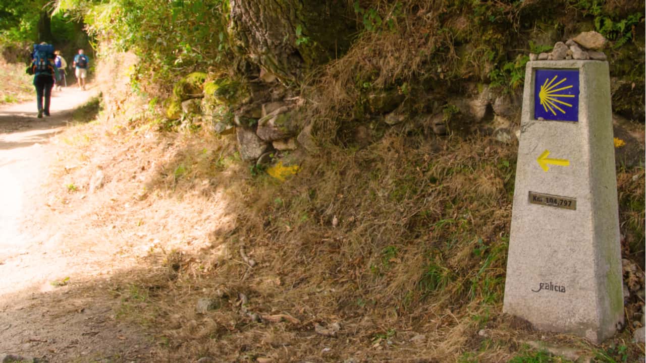
The town and the route from here are traditionally very busy due to many pilgrims starting at this point (pilgrims must walk 100km to receive the Compostela).
Sarria first appeared in records during the 6th century. However, there is evidence of an earlier Roman settlement. The town was repopulated by Bishop Odoario of Lugo after the reconquest in the mid-8th century.
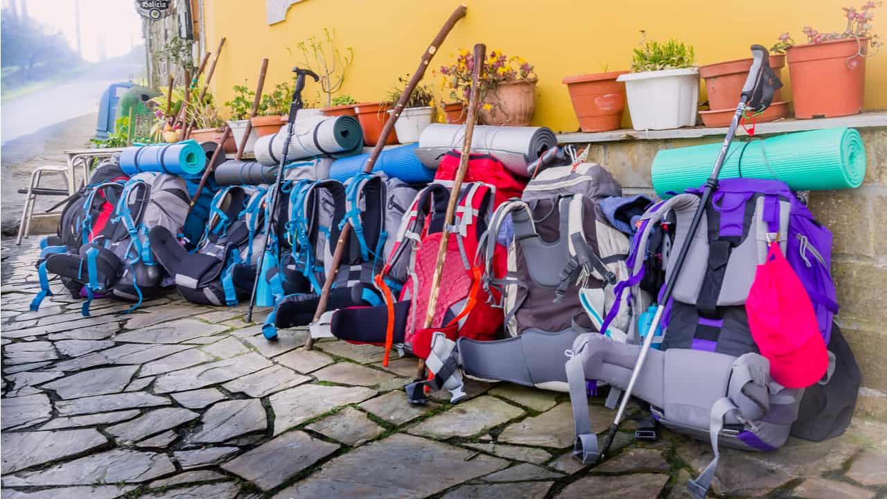
From Sarria, there are many backpack services to Santiago that offer to carry your bag to your next hostel.
Beware of feeling superior to all the new pilgrims that start walking here. It is an easy feeling to develop when you have already been walking for nearly 700 km (435 mi)- they may need as much help as anyone else.
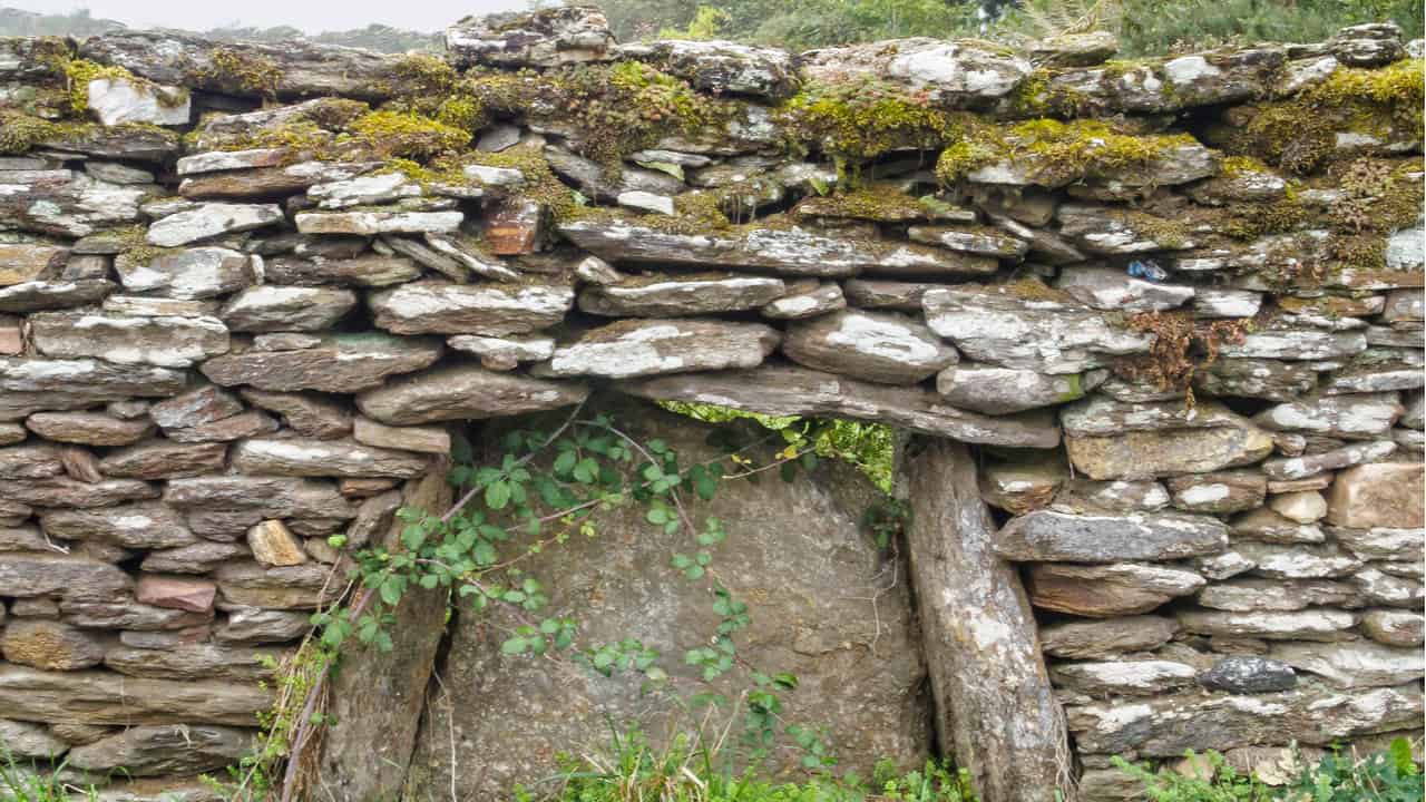
The oldest part of the town is built on the side of the hill, and because the railway was built to the side of the town, the old quarter has remained fairly intact.
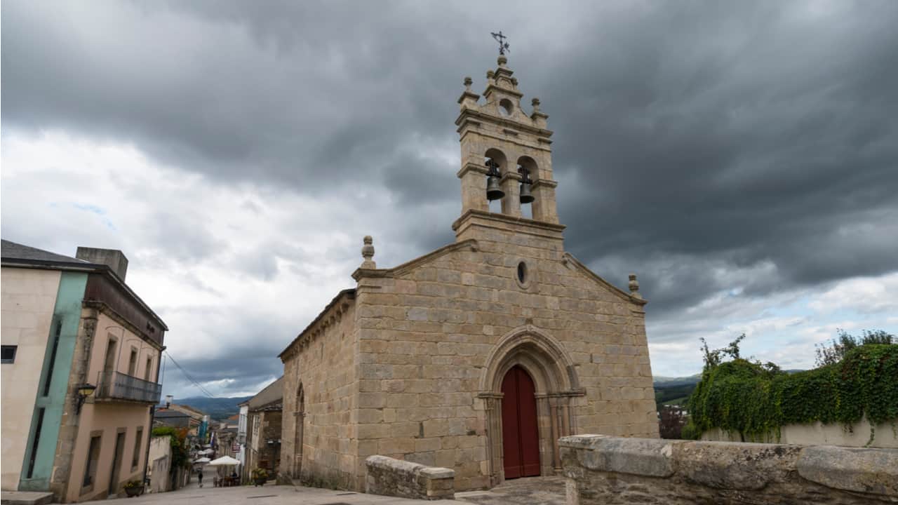
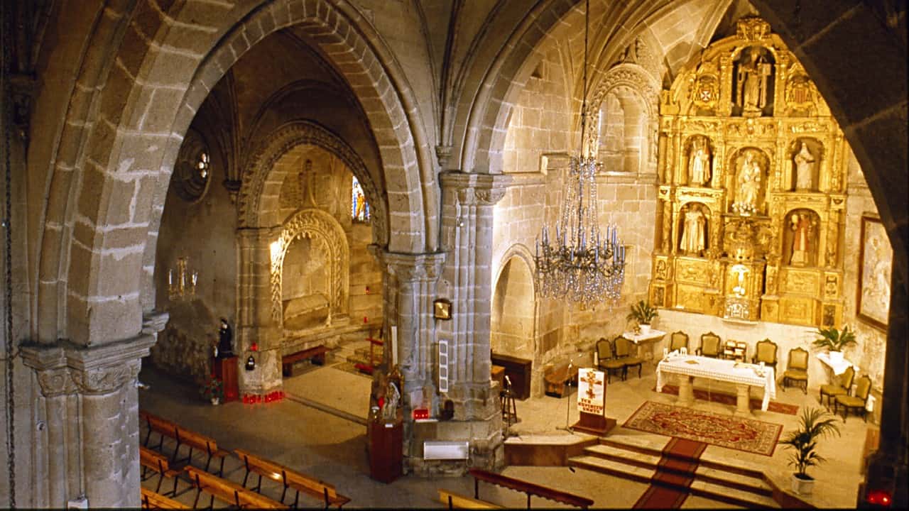
Church of Santa Marina was first constructed in the 12th century, it has, however, been completely replaced by a large stone modern building with some interesting murals.
The Parish Church of El Salvador dates from the 12th century, with various 14th-century Romanesque reconstructions.
The Castle was started in the 14th century. However, there is little left as it was destroyed in the 1467 civil war.
The castle was reconstructed in 1670 by the Conde de Lemos, but was abandoned and fell into ruin; the stones from the ruins were used to build streets and sidewalks. However, one tower has been reconstructed.
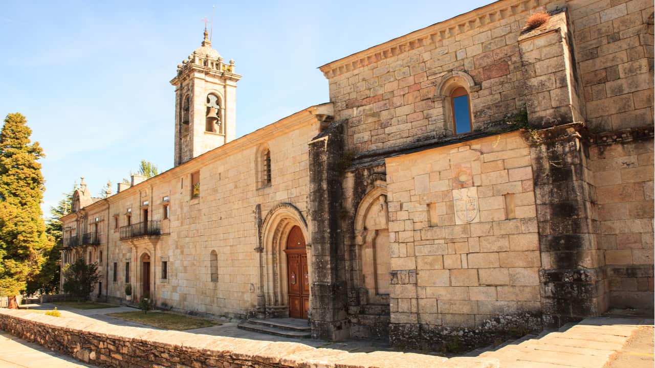
The 13th century Convent de la Magdalena grew from Italian pilgrims who founded a hermitage in the 12th century.
During the 13th century, it was reconstructed in the Plateresque style as an Augustinian Monastery. However, this history is disputed, and some believe it was founded by the Knights of St John of Jerusalem. Today it is run by Mercedarian monks.
On the way out of Sarria sits the Hermitage de San Lazaro, this was a middle ages leprosarium. However, it has been replaced by a modern construction that has some interesting pilgrim mosaics.
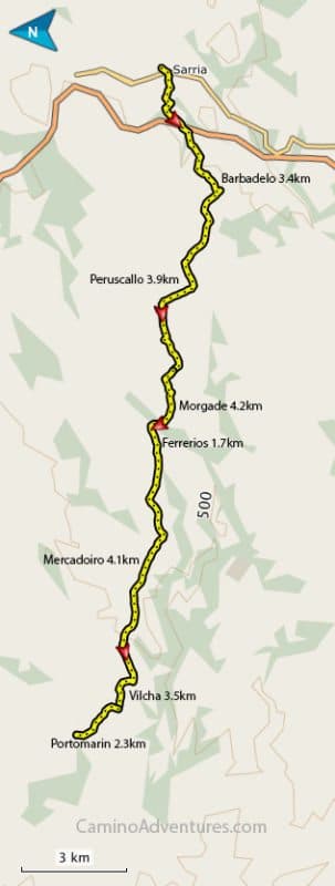
Today’s Walk: 23.1 km (13.1 mi)
This is the main start for the last 100 km of the Camino de Santiago on the Camino Frances.
If you start your Camino de Santiago on the Camino Frances in Sarria, as many do, remember to have your Pilgrim’s Passport stamped twice each day if you want your Compostela on arrival in Santiago de Compostela.
If you don’t already have your Pilgrims Passport you can collect one here in Sarria at this Albergue in the Monastery of La Magdalena.
Today and for the rest of the way until Santiago, there is never a problem with food or water. It is rare that you are more than a few kilometers from a town or village. For example, today, you will walk through or pass beside 21 towns and villages.
A lot of pilgrims use Sarria as their starting point. The reasons behind this are twofold. First pilgrims want to walk into Santiago rather than hike some other arbitrary 100 km (60 mi) or 5/7 days elsewhere along the Camino France.
Secondly, to receive a Compostela, you have to walk at least the last 100 km or cycle the last 200 km (120 mi), and this is a convenient location to travel to.
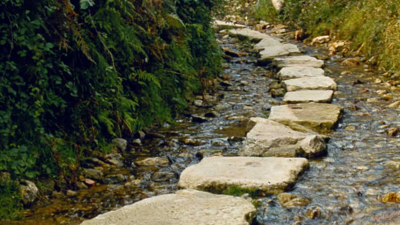
Today’s section is along small country roads and a few country paths. It is generally tree-lined and will provide good shade in the sun. The map is marked with only the towns and villages that have albergues. There are hamlets every kilometer or so. It can seem like you have just left one village as you enter the next.
The route is easier than it looks on the elevation map and should take about 5 hours of easy walking.
Barbadelo
3.4 km (2.1 mi), cafe, water
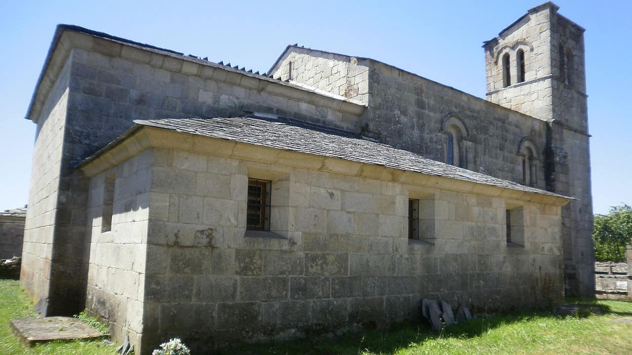
In Barbadelo is the Church of Santiago de Barbadelo, a Galician Romanesque church that dates from the 9th century with a single aisle. The main portal has four columns, each crowned with capitals that support two archivolts with a variety of carvings that include crude human figures, plants, animals, and geometric motifs.
The Liber Sancti mentions Barbadelo twice, providing evidence that the Camino Frances passed through this village. However, the area was noted for swindling pilgrims.
Peruscallo
3.9 km (2.4 mi), there is a bar, restaurant, and water.
Morgade
4.2 km (2.6), water, bar
The bar is attached to the hostel.
Ferrerios
1.7 km (1 mi), water
Ferreiros was known for a blacksmith that provided services to pilgrims for nails studs in boots and shoeing horses. The Church of Santa Maria de Ferreiros has a Romanesque facade from the 12th century.
A Pena
1.8 km (1.1 mi), water, bar
Mercadoiro
2.3 km (1.4 mi), water, bar
Vilcha
3.5 km (2.2 mi)
It’s a 2.3-km (1.4 mi) walk from Vilcha to Portomarin.

I love hiking, backpacking, and camping. From the Camino de Santiago to the West Highland Way in Scotland or simply a great day hike on the weekend. Hiking refreshes me, my mind, and keeps my body reasonably fit. So far I have walked three Camino routes and many other long distance hikes in the UK, Canada, and around the rest of Europe. One of the best was my hike up Ben Nevis.