The earliest references to El Burgo Ranero is from 1126, there are a few interpretations of the town’s name: one is the town of frogs, as there are lots of frogs in the area; another says the town’s people sold frogs; and the last is that the town was originally called El Burgo Granero due to the abundance of wheat grown in the area.
Albergue Domenico Laffi, Plaza Mayor, municipal, donation, 28 beds, K, W, D, @, bike, Tel: 987 330 047, open all year.
Hospederia Jacobea El Nogal, 42 Calle Fray Pedro, 30 beds, association, €7, rooms for 2, 3, or 4 at €10 per person, 30 beds, W, D, @, Bike, Tel: 667 207 454, open Easter to Nov.
Albergue La Laguna, c/ La Laguna, 12, private, €9, 24 beds, K, W, D, @, Bike, Tel: 987 330 094, , open Mar to Nov
This is one of the areas from the early middle ages that farmed merino sheep which had been introduced from North Africa. During summer the sheep fed in the mountains to the north and during the winter they were brought to the Meseta to feed on the wheat stubble.
Tracks were built, canadas, which were 80 to 100 meters wide, bordered by walls. You can still see canadas cross the Camino between El Burgo and Astorga.
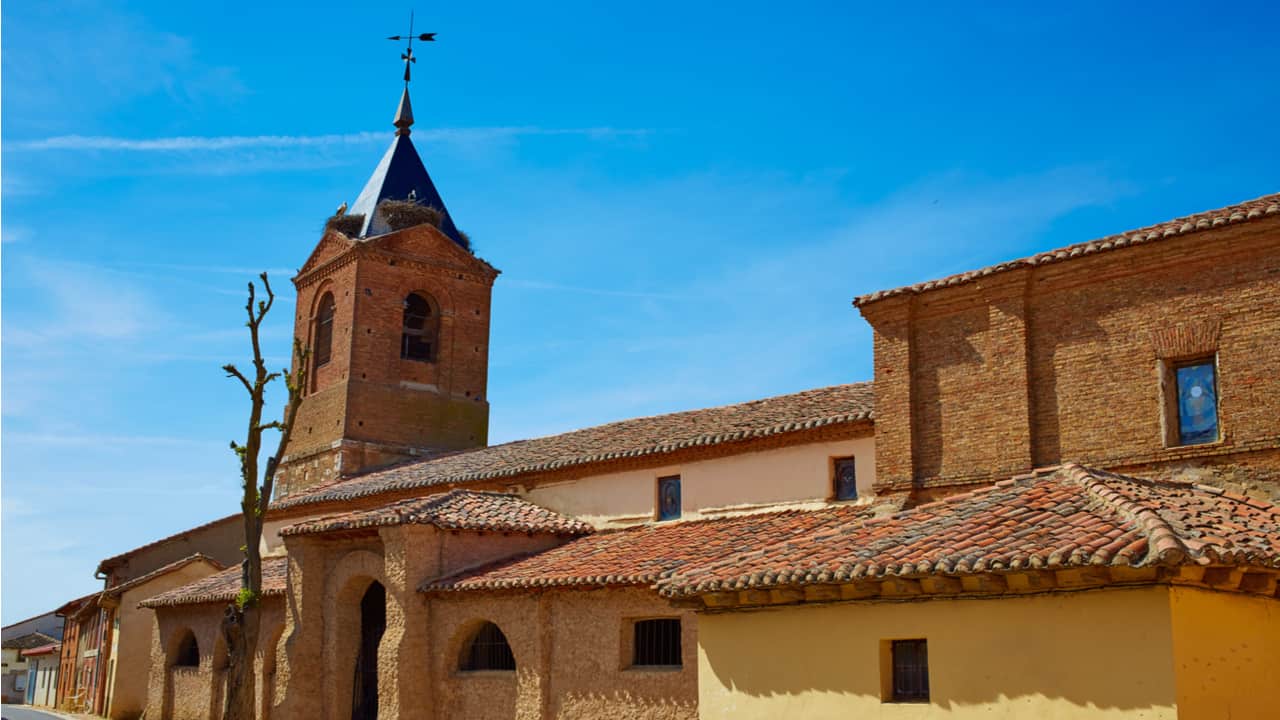
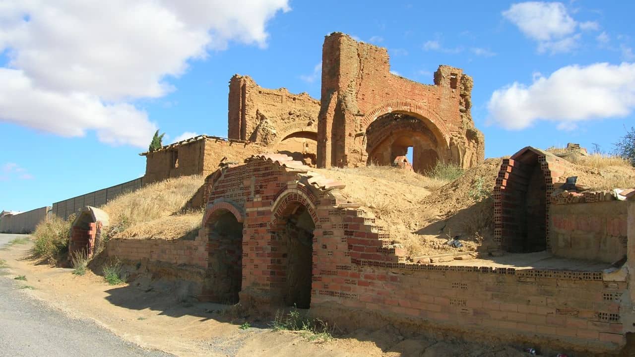
The run-down Church of San Pedro once housed a Romanesque Virgin, however, it has been moved to the museum in Leon Cathedral.
Today’s Walk: 18 km (11.2 mi)
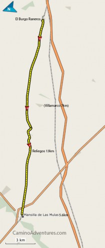
Leaving El Burgo Ranero there is a choice to two routes, both routes are very flat and easy walking. This village was not originally on the Camino Frances, but as we have seen already the route has moved slightly over time.
Be aware that there are almost no villages this day until 5.6 km (3.5 mi) before your destination, so fill up with water and carry some food; on the road route there is a village called Villamarco after about 8 km (5 mi) but it is about 600 meters (2000 ft) off the Camino.
There are not many days like this, as you will have seen the Camino twists to go through almost every village near its path, which is great for refreshments and places to stay; however today you don’t have guaranteed water for 12km on either route.
Route 1: This route is the most used by all, cyclist and walkers, it is the easiest underfoot as the other path can be quite rutted. This path was specially constructed by the local government.
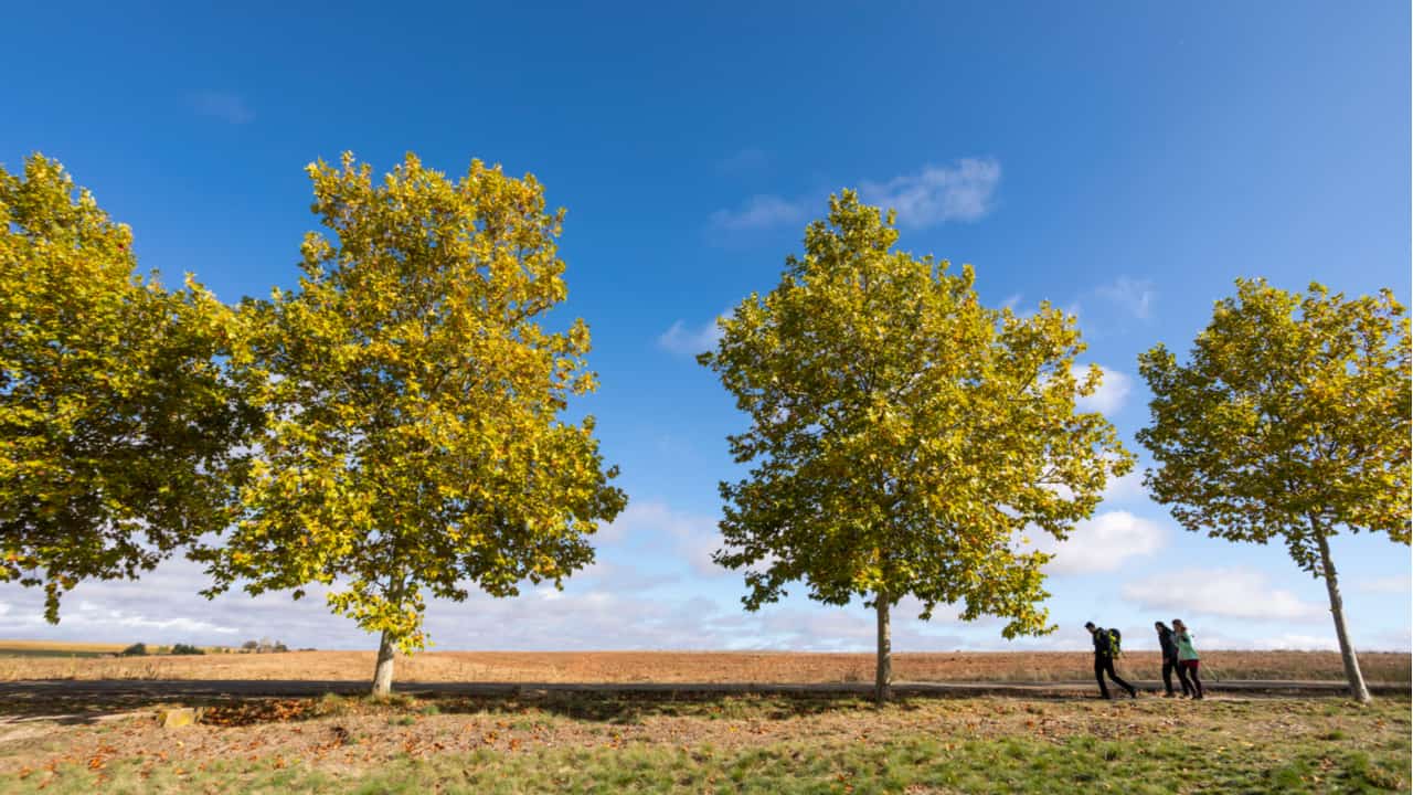
Leave El Burgos, at the end of the village go straight on past the pond, this will lead you onto a tree-lined route, perhaps because of the trees it is more attractive during the hottest months of July and August.
The route is purpose-built and for that reason there is a water fountain about halfway along, but don’t depend on it working. There are various benches to rest on at various points.
Route 2: This was my choice of walking route. At the pond there is a road that goes back down to the Roman Road across the rail line, this route is known as the Via Traiana.
The Roman Road is slightly longer, (2km), but a lot more peaceful as it is far from the road until towards the finish. For me, I prefer not to be walking beside the road all day, but it does not happen often.
Both routes run parallel to the railway and sometimes the noise of traffic can be heard from the motorway nearby. The area is a wheat-growing area during the summer months and during the winter the sheep are brought down here from the hills. The route is generally very flat with a few gullies, but nothing that is in the least bit challenging.
Villamarco
this small village is about two-thirds of the way to Mansilla, about 8 km (5 mi), however, it is not on the way and you will have to leave the Camino to walk south to it. It can only be accessed if you are walking the Road route and not the Roman Road.
If you are traveling the Roman Road there is a small road off to the left into Reliegos. Most people follow this route into the town then continue after refreshments on the main path to Mansilla de las Mulas which is another 5.6 km (3.5 mi), a Castilian league.
Reliegos
13 km (8 mi), water, bar, shop
Albergue Municipal, c/ Escuela, €5, 44 beds, K, @, bike, Tel: 987 317 801, , open all year
Albergue La Parada, c/ Escuela, 7, private, €7, 36 beds, M, W, D, @, Bike, Tel: 987 317 880, , open mid Jan to mid Dec.
Albergue Piedras Blancas II, c/ Cantas, €9, 8 beds, M, W, D, @, Bike, Tel: 607 163 982, Open Mar to Oct
Reliegos was called Palantia by the Romans, the village was a junction where two long Roman routes met, the Via Traiana and the road from Tarragona, today it is a crumbling village with just over 200 inhabitants.
It’s a 5.6-km (3.5 m) walk from Reliegos to Mansilla de las Mulas, where you’ll find all the services you may need.
Key: W = Washing, D = Drying, M = Menu, @ = Internet, K = Kitchen, B = Breakfast, V = Vending, Cred = Credential, Bike = Bike Storage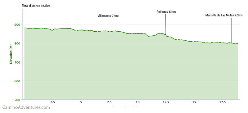
Does this page need any updates or new albergues added? Please let us know in the comments below.
I love hiking, backpacking, and camping. From the Camino de Santiago to the West Highland Way in Scotland or simply a great day hike on the weekend. Hiking refreshes me, my mind, and keeps my body reasonably fit. So far I have walked three Camino routes and many other long distance hikes in the UK, Canada, and around the rest of Europe. One of the best was my hike up Ben Nevis.